21 March, 2023
TO: Kraig Chalem
Community Development Center
Thurston Co Washington
RE: Development project 2022103702
Subject: clarification of permit application
Mr. Chalem:
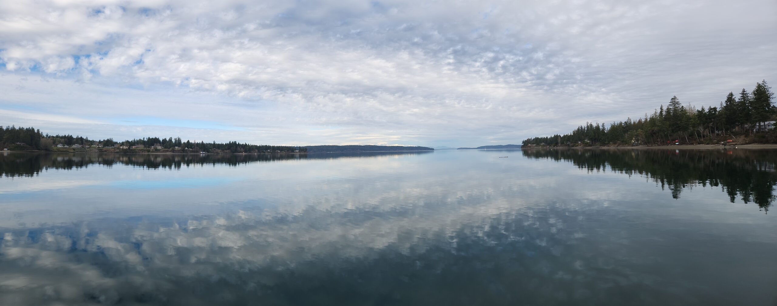
I represent the non-profit group Protect Henderson Inlet (PHI). We are asking the planning department to clarify the permit application from Taylor Shellfish (project # 2022103702) off Johnson Point Loop.
In the application Taylor states for its intended geoduck planting that “upper edge planted typically between +1 -0 feet” tidal elevation. However, on their planting map, they show the zone of geoduck planting to extend to a much higher tidal level. Resident David Hall has a property adjoining the former Oysterlands at the proposed site and maintains property line markers at the west margin of his lot, which is the east border of the Mazanti-Taylor site. We know from consulting a tide table at the exact time the tide reaches the survey marker the upper edge of the proposed plan is at about +10.5 feet. I’m estimating from the plan that the planting level for geoduck extends to about the +7-foot level. Taylor shows oysters at the upper edge, at least +10 feet. I am not aware that oysters can be safely grown that high on the beach.
It is important that Taylor gives accurate details of its planting plan to the citizens of Thurston County and that the county ensure that Taylor complies with the parameters of the plan if the permit is allowed. There is a huge difference between planting at the +1-foot level than at +7 feet.
Sincerely,
Ron Smith
President Protect Henderson Inlet
www.protecthendersoninlet.org